
File:Historical region of Palestine (as defined by Palestinian Nationalism) showing Israel's 1948 and 1967 borders.svg

Size of this PNG preview of this SVG file: 424 × 600 pixels. Ither resolutions: 170 × 240 pixels | 339 × 480 pixels | 543 × 768 pixels | 724 × 1,024 pixels | 1,448 × 2,048 pixels | 744 × 1,052 pixels.
Oreeginal file (SVG file, nominallie 744 × 1,052 pixels, file size: 90 KB)
_showing_Israel%27s_1948_and_1967_borders.svg)
Ootline
| Descreeption |
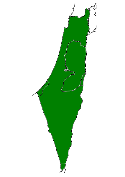
English: Historical region of Palestine (as defined by Palestinian Nationalism) showing Israel's 1948 and 1967 borders |
| Date | |
| Soorce |
Ain wirk. Created from scratch using Inkscape, with reference to other wikimedia commons files. This file was derived from: |
| Author | Oncenawhile |
| Other versions | File:Palestinian National Authority showing Israel's 1948 and 1967 borders.svg |
Licensin
I, the copyright holder of this work, hereby publish it under the following license:
| This file is made available under the Creative Commons CC0 1.0 Universal Public Domain Dedication. | |
| The person who associated a work with this deed has dedicated the work to the public domain by waiving all of their rights to the work worldwide under copyright law, including all related and neighboring rights, to the extent allowed by law. You can copy, modify, distribute and perform the work, even for commercial purposes, all without asking permission.
|
File history
Clap oan ae date/time fer tae see the file aes it kithed at that time.
| Date/Time | Thummnail | Dimensions | Uiser | Comment | |
|---|---|---|---|---|---|
| current | 15:30, 30 Mairch 2011 | | 744 × 1,052 (90 KB) | Onceinawhile | {{Information |Description ={{en|1=Historical region of Palestine (as defined by Palestinian Nationalism) showing Israel's 1948 and 1967 borders}} |Source ={{own}}. Created from scratch using Inkscape, with reference to other wikimedia commons |
Eimage airtins
The follaein pages airts tae this image:
Global file uisage
The follaein ither wikis uise this file:
- Uisage on ar.wikipedia.org
- Uisage on bg.wikipedia.org
- Uisage on de.wikipedia.org
- Uisage on en.wikipedia.org
- Uisage on gl.wikipedia.org
- Uisage on nl.wikipedia.org
- Uisage on pt.wikipedia.org
- Uisage on ro.wikipedia.org
_showing_Israel%27s_1948_and_1967_borders.svg)